Queenson Engineering & Consultant, we provide high-quality, accurate, and reliable engineering and survey services. With our expertise in topographical, industrial, and infrastructural surveys, we cater to a wide range of sectors, ensuring precision in every project.
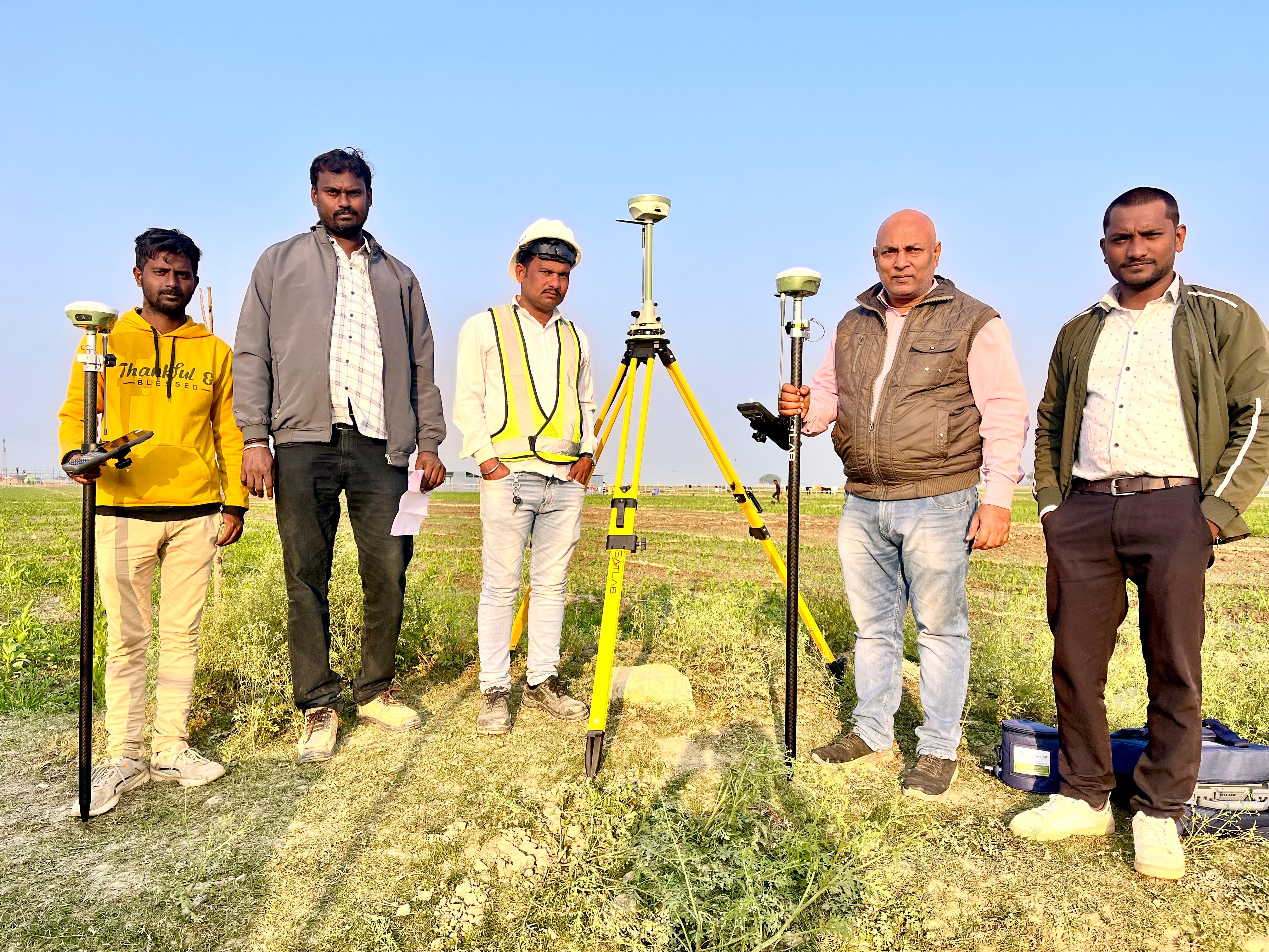
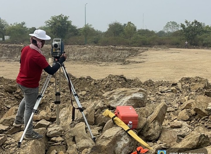
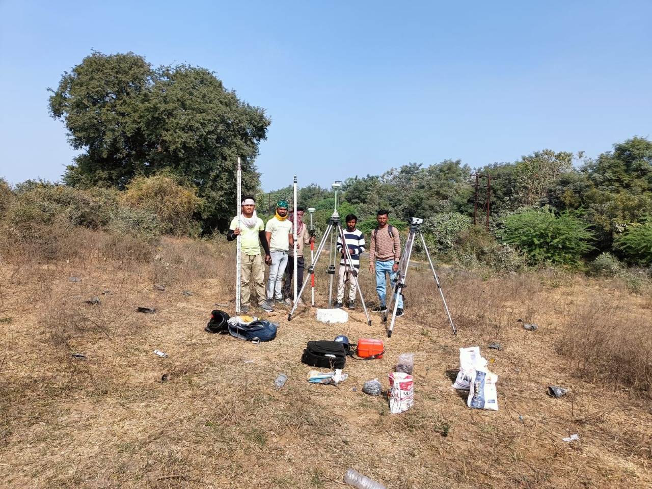
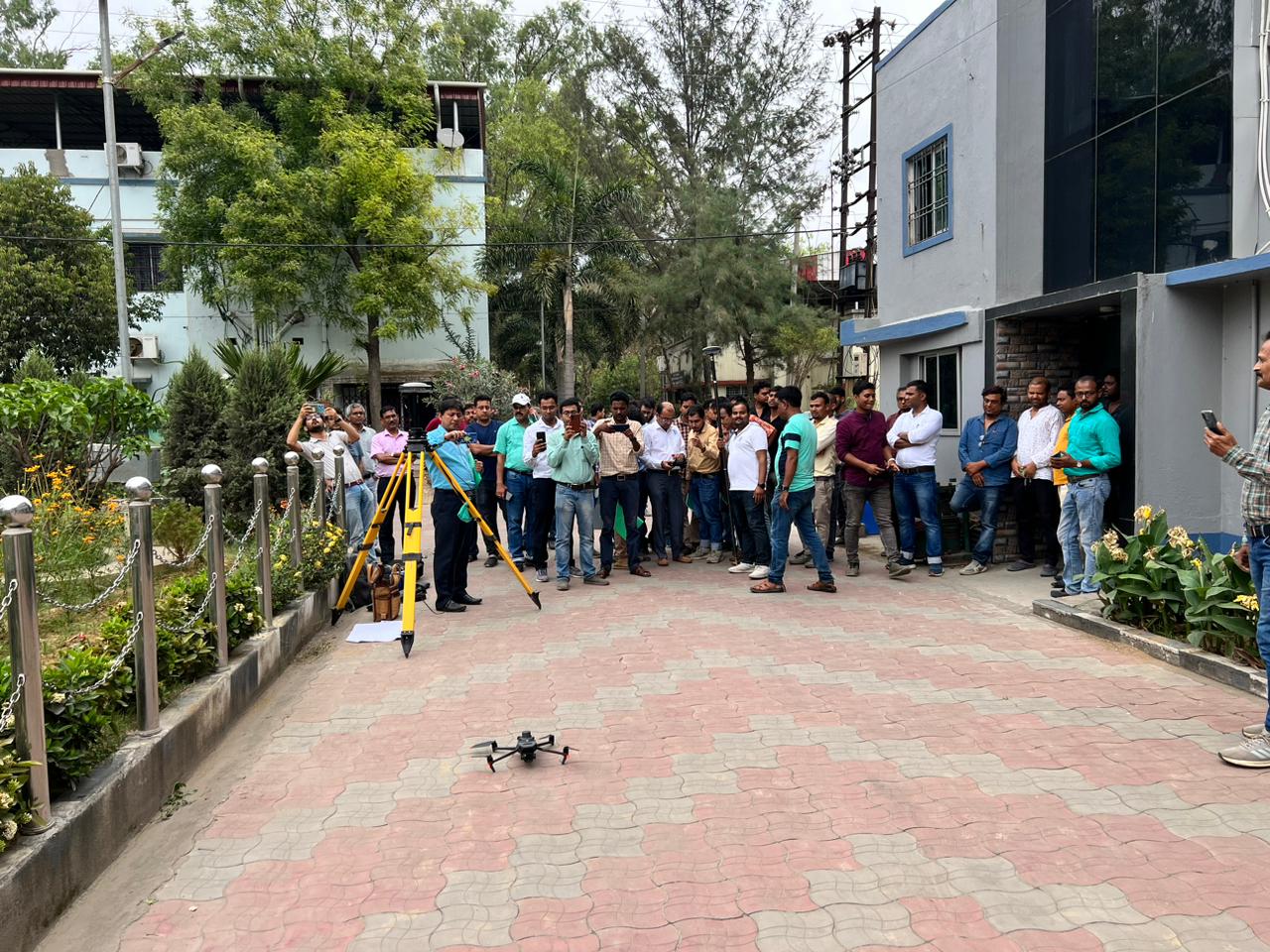
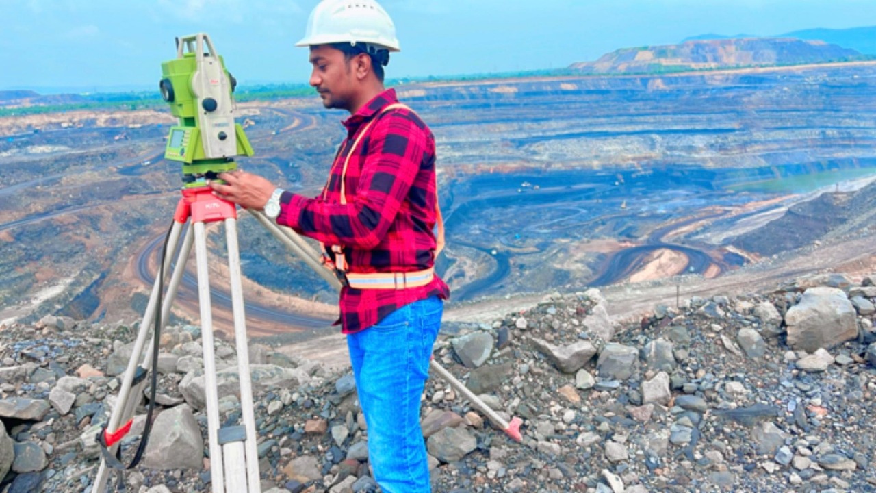
Queenson Engineering & Consultant is a trusted name in the field of surveying and engineering consultancy. We offer a diverse range of services, including topographical surveys, layout demarcation, contouring, and detailed project reports (DPR) for roads and railway lines. Our specialized services extend to industrial, irrigation, and drone surveys, making us a one-stop solution for all surveying needs. Our mission is to provide accurate, timely, and cost-effective solutions to help our clients make informed decisions and optimize their projects.
To be the leading provider of advanced and precise engineering survey solutions, delivering innovative services that empower infrastructure development and industrial growth.
Our mission
To be the leading provider of advanced and precise engineering survey solutions, delivering innovative services that empower infrastructure development and industrial growth.
Projects
0+
Satisfied Clients
0+
Employee
0+
Listed Properties
0+
Our Services
Queenson Engineering & Consultant! Services
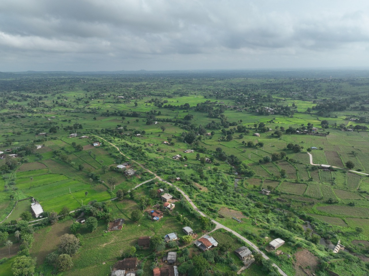
Topographical Survey
Detailed mapping of the terrain to help in planning and designing construction projects.